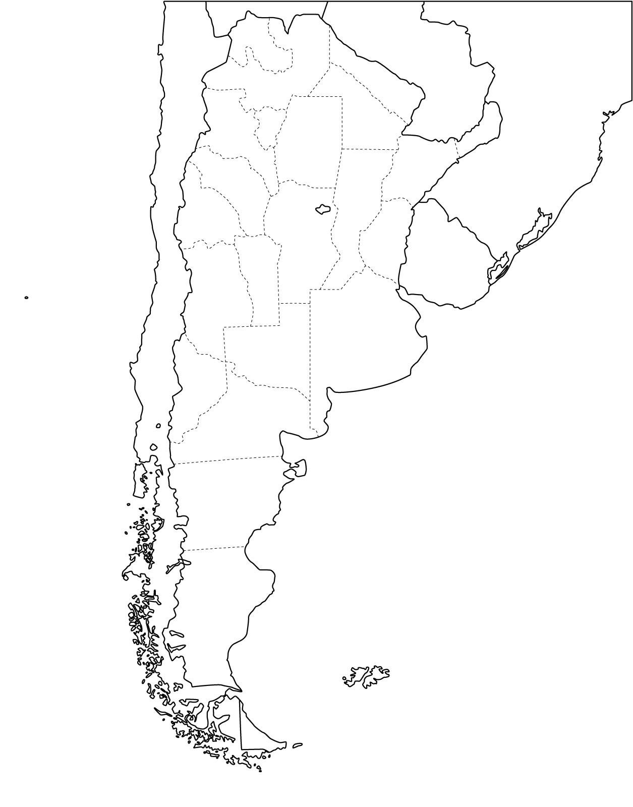
Surely you have been looking for maps of Chile and Argentina that can help you find some answers to the main questions. In this case, we bring some of those answers to help you schedule your next trip. Of course, you can always consult a travel expert at Argentina Pura and let us help you with that time-consuming task.
Where are the main attractions of Chile and Argentina on the map?
Below you will find an interactive map of Argentina and Chile that will help you locate the main places of interest in the North, the highest area of the Andes, where Salta and Jujuy are located on the Argentinean side or the Atacama Desert in Chile. Also, as is the case throughout both countries, you can cross borders in several places to experience Patagonia at its best in the south of the continent where the most visited National Parks of the region are located. In the central area to the East, there is Buenos Aires and the Pampean region or to the West the wine region in Argentina or already in Chile where Santiago de Chile is at the same altitude as Mendoza.
Let’s not forget also the Iguazu Falls at the other end of the map, in the Northeast region where it meets the South of Brazil and Paraguay.
A summary of all this is shown in the map below.
Interactive map of Argentina and Chile

Main Regions to explore in Argentina & Chile
Buenos Aires
Is the Argentina Capital City and one of the most important hubs to travel around the country.
Mendoza & The Wine Country
Mendoza is the wine region of Argentina and where The Aconcagua Mount is located. It is just a few hours drive from Santiago de Chile.
Santiago de Chile
Santiago is the chilean capital city and from here you can visit the wine area, Valparaíso and Viña Del Mar.
Salta & Jujuy
Main capitals of the Argentinian North, are great spots to visit the highest part of the Andean Puna in Argentina and Chile.
Puerto Madryn
Puerto Madryn is at the North of Patagonia and is where you can observe penguins and whales plus other sea animals.
Iguazu Falls
See some of the highest Falls around the world in Argentina and Brasil.
Atacama
Atacama is a high Desert at the North of Chile, if you like that kind of moon looking landscapes, that’s the place to go.
Bariloche
The Lake District is famous around the world by its impressive beauty. Don’t hesitate to include it in your trip.
El Calafate
El Calafate is the area of the Glaciers. This is a must go in Patagonia for every trip!
El Chaltén
Our Argentinian Capital of trekking in Patagonia. A place to enjoy mountain trails and enjoy nature and wilderness
Ushuaia
The end of the world! Ushuaia is the southern most city in our continent and the best connection with Antarctic.
Torres del Paine
One of the most beautiful places in the world. Explore the main spots of the Chilean Patagonia here.

0 Comment